1982—2005年青藏高原降水再循环率的模拟研究
Simulation Study on Precipitation Recycling Ratio in the Tibetan Plateau from 1982 to 2005
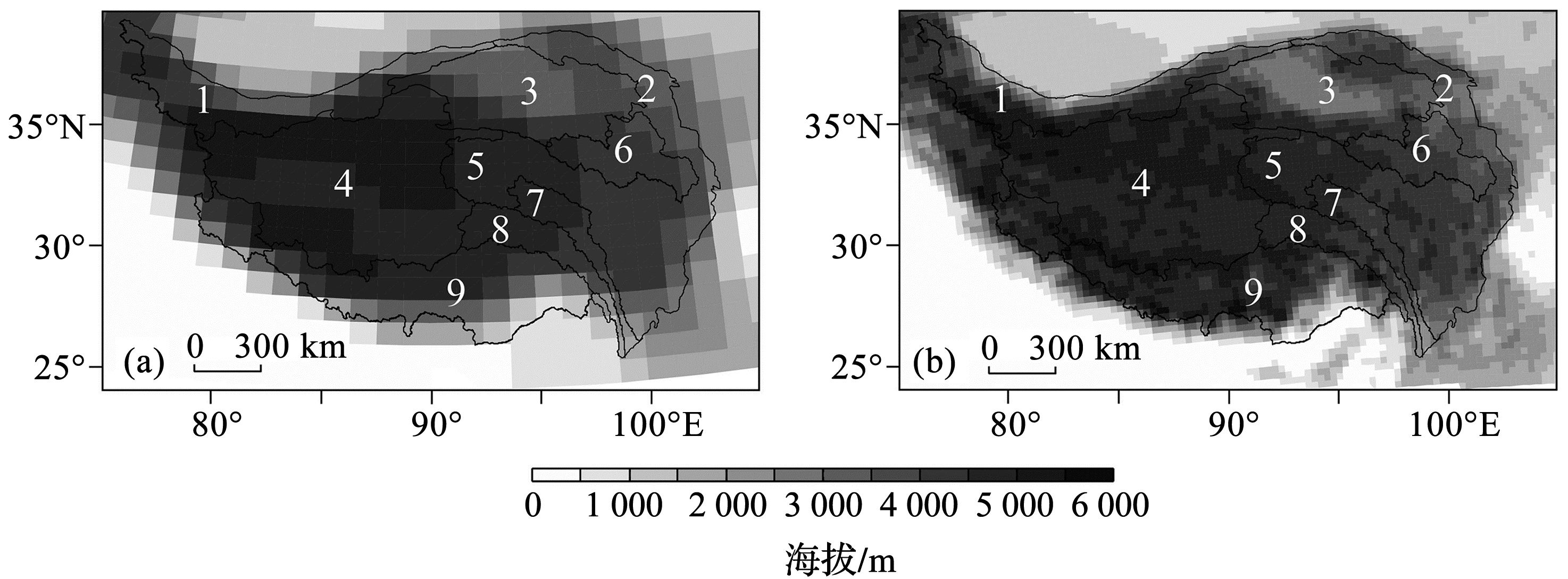
(a),(b)分别代表CCSM和WRF中青藏高原地形的空间分布;1~9分别代表塔里木河流域、祁连山区、柴达木盆地、羌塘高原、长江流域、黄河流域、湄公河流域、怒江流域和雅鲁藏布江流域
(a), (b) show the topography for CCSM and WRF over the TP, respectively; 1~9 stands for the Tarim River Basin, Qilian Mountain, Qaidam Basin, Chang Tang Plateau, Yangtze River, Yellow River, Mekong River, Salween River, and Brahmaputra River, respectively