基于雷达与卫星的对流触发观测研究和临近预报技术进展
A Review of Radar- and Satellite-based Observational Studies and Nowcasting Techniques on Convection Initiation
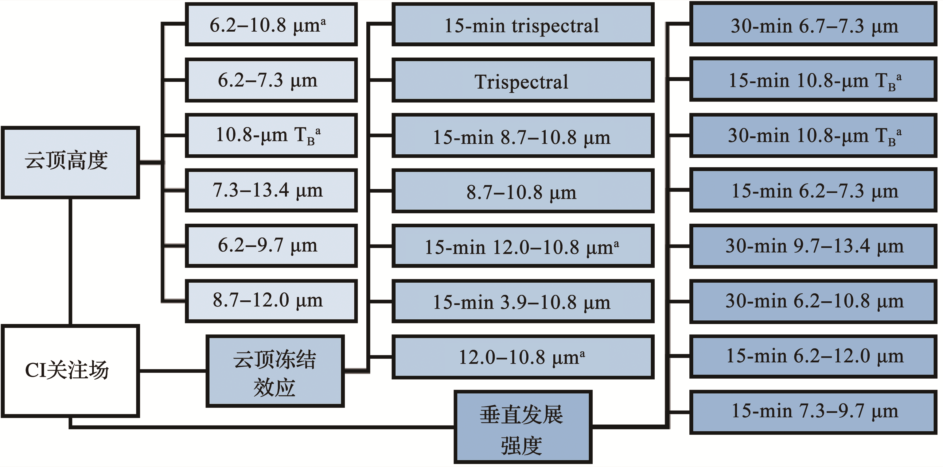
上标“a”表示Mecikalski等[
The superscript “a” indicates six out of the eight interest fields in Mecikalski and Bedka[
基于雷达与卫星的对流触发观测研究和临近预报技术进展 |
| 黄亦鹏, 李万彪, 赵玉春, 白兰强 |
|
A Review of Radar- and Satellite-based Observational Studies and Nowcasting Techniques on Convection Initiation |
| Yipeng Huang, Wanbiao Li, Yuchun Zhao, Lanqiang Bai |
| 图5 基于MSG卫星总结的最能用于刻画CI过程中3种积云发展特征的关注场[ 上标“a”表示Mecikalski等[ |
| Fig. 5 The top interest fields derived from MSG satellite for describing the three physical attributes of CI-related cumulus clouds[ The superscript “a” indicates six out of the eight interest fields in Mecikalski and Bedka[ |
|
|