不同积云对流参数化方案对黑河流域降水模拟的影响

Impact of Different Convective Parameterization on Simulation of Precipitation for the Heihe River Basin
Xiong Zhe
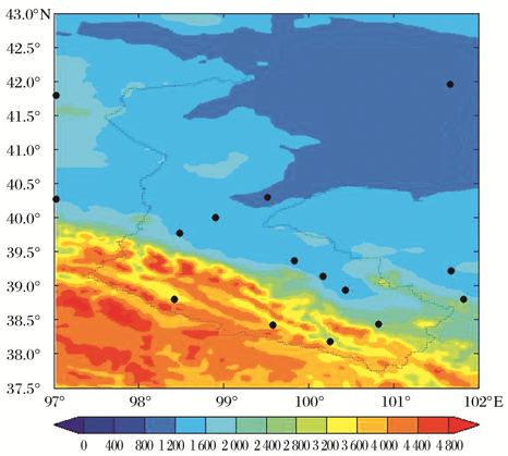
Fig. 1 Distribution of topography elevations m and meteorological observation stations in the HRB colors represent topography elevations and spots meteorological observation stations