陆地生态系统植被生产力遥感模型研究进展
Satellite-based Vegetation Production Models of Terrestrial Ecosystem: An Overview
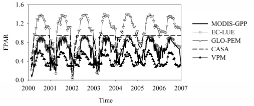
Figure 1 FPAR calculated or adopted by several light use efficiency models at Howland station in US; latitude,45.20#cod#x000b0;N,longitude,68.74#cod#x000b0;E; temperate needleleaf forest